Here at the Trust, we have a long history of working with landowners, communities and local interest groups in the belief that working collaboratively is the only way real environmental improvement and protection across a landscape can be achieved. ‘The health of our rivers and streams is a reflection of how sustainably we live on the land’ has long been one of our favourite sayings.
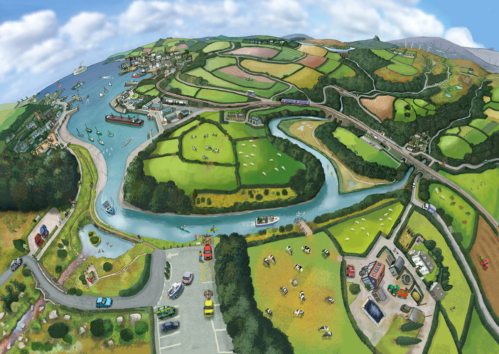
Last year, we had the opportunity to trial our approach to developing a catchment management strategy for the River Tamar, as one of Defra’s ‘catchment approach’ pilot projects. The Tamar catchment straddles the border of Cornwall and Devon and spans nearly the entire width of the Westcountry, from near Bude on the north coast of Cornwall down to Plymouth on the south coast of Devon. The river and its tributaries drain an area of land approximately 1,800 km2, a large proportion of which is farmed for crops and livestock. Bringing together stakeholders within such a short space of time and from across such a large and varied area was always going to be a challenge but, thanks to the hard work and dedication of those who contributed (about 100 individuals, representing over 30 organisations!), at the end of 2012 a shared vision for the catchment had been achieved. We are now moving forward into 2013 to further develop the strategy into its delivery phase.
Creating a Spatial Plan and Shared Vision
Having organised an initial launch meeting where we set out our hopes and aims for the year ahead, we asked stakeholders to form ‘ecosystem services’ working groups. These groups sought to identify and map areas or characteristics of the landscape important for delivery of each ecosystem service and to record the current status of those features. The groups then defined opportunities for targeted interventions that could be delivered to improve ecosystem service delivery. The working groups were as follows:
- provision of water quality
- regulation of water quantity (protection from floods and droughts),
- spaces for wildlife to protect biodiversity at a landscape scale
- carbon sequestration and
- provision of accessible spaces for recreation, leisure and culture.
Two additional expert working groups were also formed; one to consider how best to address point source pollution issues and a second to develop a public engagement plan to motivate the public to value and protect the River Tamar and its catchment.
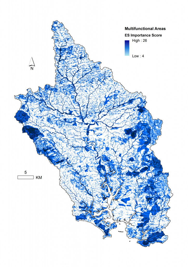
Through this process, stakeholders in the Tamar Catchment have collaborated to develop their shared vision for a healthy and productive river and catchment in the future. The plan is evidence-led, it is strategic and integrated and potential funding streams for delivery of the plan have been identified. Furthermore, the plan is balanced; it is designed to deliver improvements for the river and to enhance ecosystem service provision, without compromising food production or the economic stability of local businesses. Most importantly, however, the plan has brought together key stakeholders within the Tamar catchment to work towards a common goal. We are looking forward to continuing our work with all those involved throughout the coming year.
If you would like to find out more about the project, the working groups or how we carried out the mapping process, you can read more about it here: http://river-gateway.org.uk/catchments/tamar.html